Earth Mapping Resources Initiative

Nolan Gamet inspecting an outcrop of biotite-gneiss in the Watersmeet Dome region of the Upper Peninsula.

About

The Earth Mapping Resources Initiative (EMRI) is a USGS-led Mineral Resources Program established to modernize mapping of the Nation’s surface and subsurface. The focus is particularly on collecting data in areas with potential critical mineral resources that are essential for economic growth.

MGS is currently working on two Earth MRI projects:

  1. Watersmeet Dome Mapping
  2. Waste Pile Sampling

Watersmeet Dome Mapping

MGS Earth MRI mapping in the UP.

MGS is mapping and sampling the northern margin of the Watersmeet Dome where anomalous rare earth elements (REE), fluorite, Mo, U, Th, Hf, and Ta, have been reported. The most recent map compilation for the region was published in 1990 by the USGS. This investigation will examine the area in the context of advances in magmatic REE and IOA/IOCG deposit models over the past 30 years, as well as collect updated basic geological information. The project will take advantage of high resolution (1M) LiDAR and an unmanned aerial vehicle (UAV) high-resolution magnetic survey, to help map the rugged, timbered area and interpret the extension. We plan to use limited SEM/microprobe analyses to ascertain the REE-bearing minerals and for geochronological analysis to assist in geological interpretations.

Screenshot of preliminary geologic map data in the Watersmeet Dome region.
Preliminary geologic map data in the Watersmeet Dome region.

Mine Waste Pile Site Inventory and Characterization

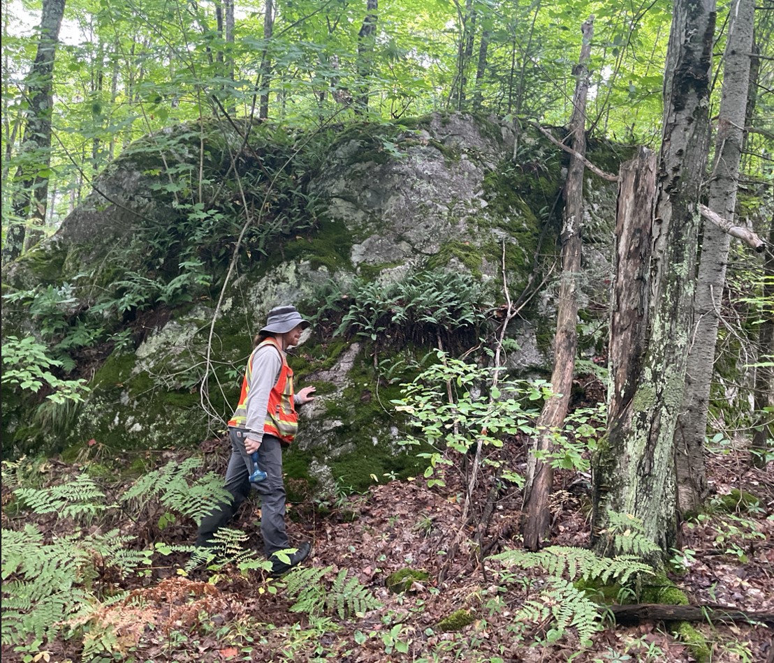
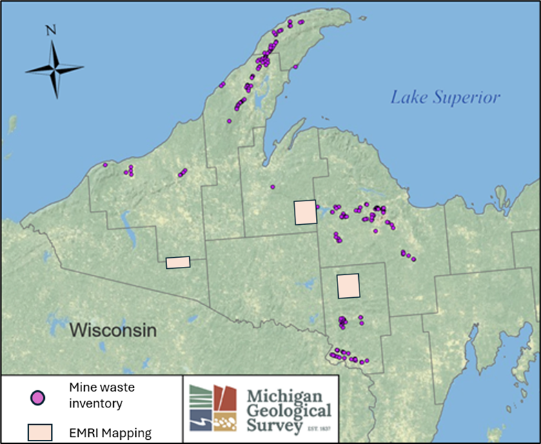
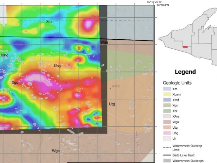
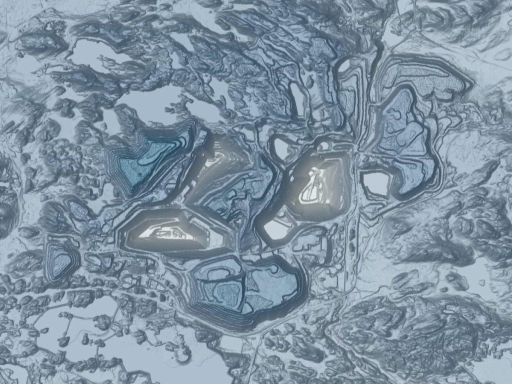
The Upper Peninsula (UP) of Michigan experienced three major geologic periods of metallogenesis, resulting in world-class Precambrian deposits of copper, iron, and zinc, as well as smaller deposits of gold, silver, graphite, and feldspar. Widespread mechanized mining of these deposits began in the mid-19th century and helped to fuel the Industrial Revolution but led to hundreds of abandoned mine waste features. The MGS has catalogued historical mine waste sites in six western UP counties for a national inventory and plans to complete two more counties. Published and unpublished literature show that many mine waste materials have the potential to host critical minerals as defined by the USGS. The MGS is also embarking on a two-year program to sample up to 40 historical waste dumps that may contain critical minerals.
Lidar image of a mine waste site in the Upper Peninsula.

Related Resources