Our Collection
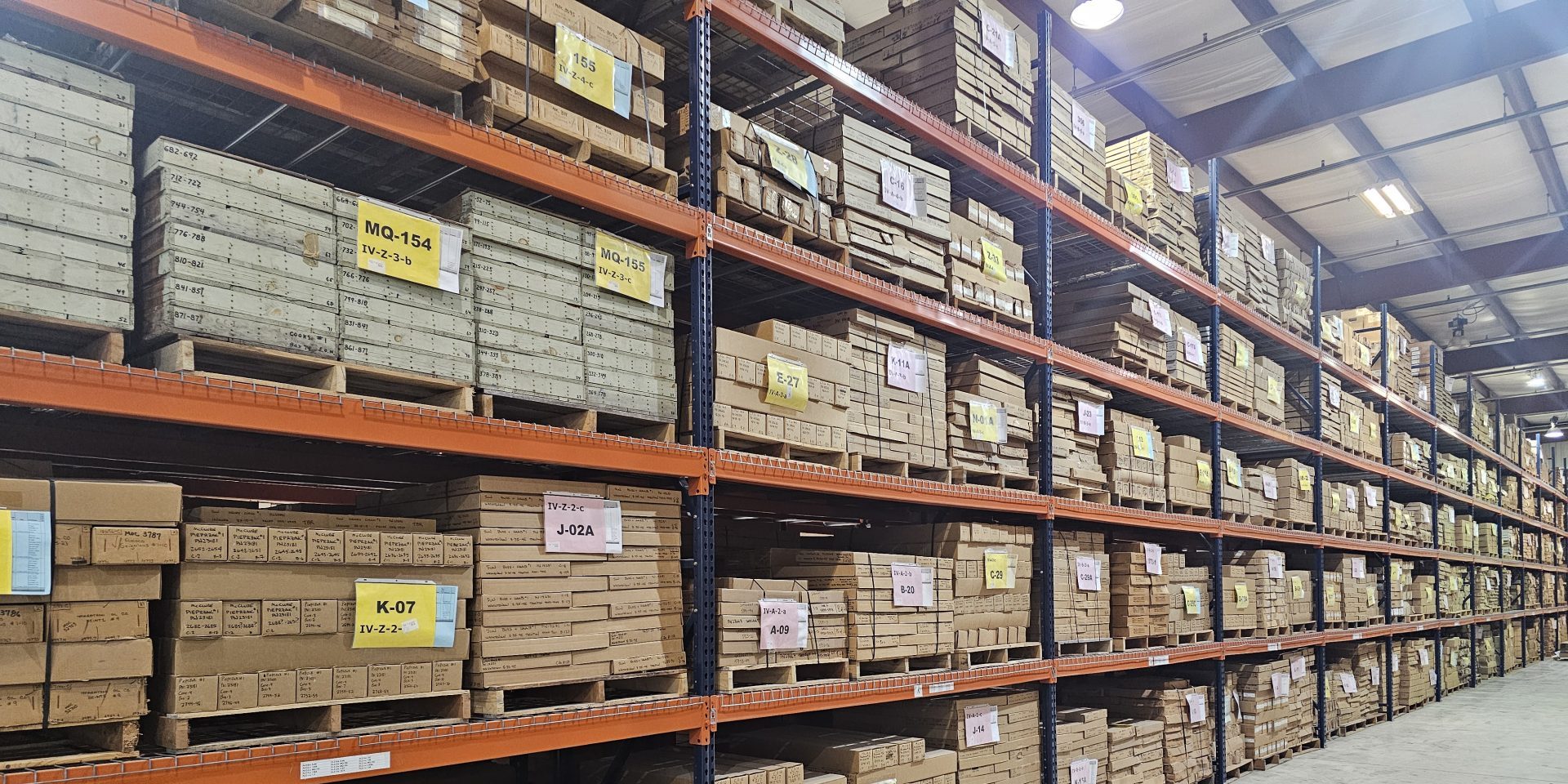
The Michigan Geological Repository for Research and Education at Western Michigan University archives more than 600,000 feet of cores. Most of these were drilled during oil, gas and mineral exploration. Some of these cores were also drilled for surficial mapping, engineering projects and road construction. Our downloadable Core Inventory Spreadsheet shows their surface location, API number, permit number, well name, original driller’s name and core depths. An excel spreadsheet with links to photographs of core boxes can be found in our Core Photo Inventory Spreadsheet.
As part of the Michigan Geological Survey, we are mandated by legislation to collect and preserve these cores as well as other geological samples and data. We have been amassing these collections for more than 30 years. Due to industry downsizing and mergers, many of these samples were at risk of deterioration or destruction. We use these extensive collections to train geoscience students here at WMU, to conduct applied research, and to reach out to the K-12 community.
Cores provide the best direct source of data about subsurface geology. Because they are the largest subsurface samples taken (usually 4” in diameter and often hundreds of feet in depth), they show structures and rock types. When sampled, cores yield data about rock composition, porosity, permeability and resource quality. No other type of geologic sample yields so much data. That data can address a wide range of societal needs and scientific problems. Recent and on-going work at MGS/MGRRE illustrates how data have more than one life in research. Because new analytical techniques are developed, computer modeling capabilities have improved to help geoscientists better envision subsurface dynamics, and scientific concepts evolve. Although we cannot know how and when data from these cores will be used, we do know that we must preserve them because they are essential to economic development, environmental protection, land-use planning, and to insuring the quality of life for our citizens today and tomorrow.
Well Cores Housed Elsewhere
The Michigan Geological Repository for Research and Education at Western Michigan University archives more than 530,000 linear feet of Michigan well cores. Additional Michigan cores are housed by these government agencies:
- Texas Bureau of Economic Geology: Our Texas BEG Michigan Core Inventory Spreadsheet lists over 140 wells, most drilled by Shell or Sun Oil Companies. Cores from some of these wells are also housed at MGRRE.
- Michigan Department of Natural Resources: The Geologic Core and Sample Inventory for the Upper Peninsula includes the counties of Alger, Baraga, Bay, Chippewa, Delta, Dickinson, Gogebic, Houghton, Ingham, Iron, Jackson, Keweenaw, Luce, Mackinac, Marquette, Menominee, Ontonagon, Saginaw, Schoolcraft and Tuscola. Also available from the state are scanned digital oil and gas records for all of Michigan.
- U.S. Geological Survey: This collection of cores is from six Michigan wells. It also contains information about cuttings from 12 wells housed at the USGS repository in Denver.
- Unocal Michigan Cores: This collection represents 14 cored wells housed at the Viridien Group Facility (formerly CGG) in Schulenberg, TX.
Core Analyses
These analyses from more than 2,000 Michigan oil and gas wells show data about porosity, permeability and fluid saturation. These were donated to the Michigan Geological Repository for Research and Education at Western Michigan University by a Michigan oil and gas professional who performed these analyses several decades ago. His very valuable comments and interpretations are sometimes shown.
Our Core Analysis Inventory Spreadsheet of all these analyses provides the following information for each well: county, section, township, range, API number, permit number, well name, original driller’s name, and depths sampled. These are not simply scanned copies of the original paper records; we made a spreadsheet for the analytical values obtained by hand entering the numbers. Here is an example of one of these spreadsheets from API 21055273120000.
If you would like to order digital copies of core analyses, please send an email Jennifer Trout (jennifer.trout@wmich.edu) and list the API number for each well. We will then email those analyses to you along with a statement. For more information about fees for digital data, please see our Facility Resources and Fees page.