Skip to content
MGS_FULL LOGO_COLOR
MENUMENU
  • Home
  • About
    • Active Projects
    • Meet the Team
    • Employment Opportunities
    • History
  • Maps and Publications
    • GIS Map Datasets
    • Interactive Maps
    • Other Resources
  • MGRRE
    • About
    • Facility Resources and Fees
    • Publications
    • Research
    • Samples, Core, and Data
  • Outreach
    • CoreKids K-12
    • Michigan Geology
  • News
    • Newsletter
  • Events

Active Projects

  • Home
  • »
  • About
  • »
  • Active Projects

About

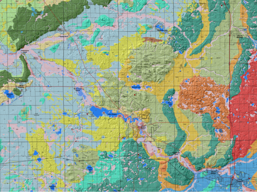
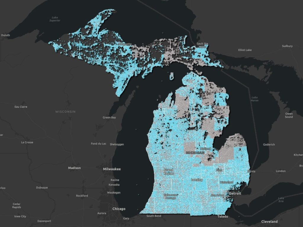
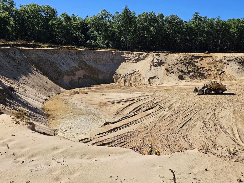
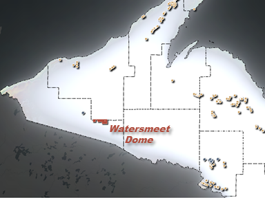
Our teams of geologists are actively working on projects located throughout the lower and upper peninsulas of Michigan. Project activities include glacial geology mapping, bedrock mapping, water well assessments, groundwater studies, 3D rock model creation, mine waste characterization, mine waste inventories, and more!

Snapshot of Allegan County Surficial Geology Map

Statemap

Distribution of wellogic water well locations in Michigan.

Triage

View looking down into a sand pit.

Aggregate Resources

Map overview of Earth MRI sampling and study locations.

Earth MRI

Screenshot of a 3d scanned fossil.

3D Scans of Michigan Rocks and Fossils

ADDRESS
Michigan Geological Survey
5272 W. Michigan Ave.
Kalamazoo, MI 49006

PHONE
(269) 387-8633

EMAIL
geos-mgsmaps@wmich.edu

Copyright © 2025 Michigan Geological Survey

Privacy Policy

Powered by Western Michigan University