Aggregate Resources

About

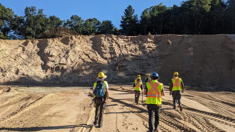
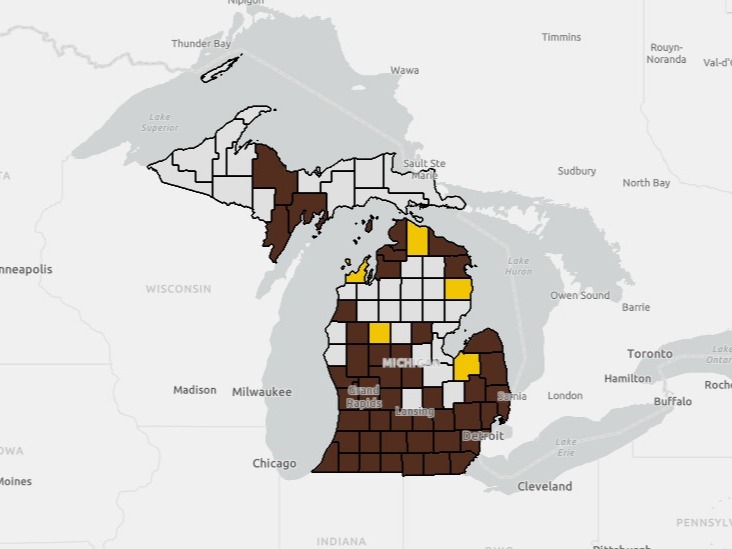
The Aggregate Resources project is a special initiative aimed at finding and mapping aggregate resources in Michigan. Through a combination of field research, data analysis, and advanced mapping techniques, MGS geologists identify and map deposits of sand and gravel resources for use in infrastructure development and land-use planning.
Team of geologists walking toward the edge of a sandpit
The Aggregates Team inspecting a sand pit.

Progress Dashboard

Check out our Aggregate Resources Mapping Dashboard where you can track our pit validation and mapping progress.

Screenshot of the aggregate resources mapping dashboard.
The Aggregate Resources Mapping Dashboard.