When Dr. William (Bill) Harrison, Research Director of the Michigan Geological Repository for Research and Education (MGRRE) a division of the Michigan Geological Survey (MGS), picked up the phone on May 1, 2025, it marked a high point in a 17-year story. Christopher Helman, reporter for Forbes magazine, was calling to learn about Bill’s work to bring Michigan’s potash deposit to light and to talk about Ted Pagano, CEO of Michigan Salt & Potash, LLC., who was making news with a $1.2 billion loan from the Department of Energy to bring this resource to production.
Helman knew that bringing a domestic source of potash to market is critical to our nation’s food production. Potash is an essential fertilizer ingredient, for which there is no substitute. Plants need potash to take up and retain moisture. And the US uses more than 5.3million tons of potash every year. Only 5% of that potash is produced in the US. For the rest, we are totally dependent on imports, largely from Canada, Russia, and China. Since Russia invaded Ukraine and China abruptly stopped exporting all its potash so they could keep their supply for their own use, potash prices have skyrocketed and supply dwindled. The result: some Midwest farmers are hard pressed to find potash at any price to provide food for this country and others.
Food security is no small issue. If you look to war-torn countries today, you see that food security is in fact national security. So, it’s very good news for our US farmers that a domestic potash source may finally come to market. And that source was largely unknown until 2008. That’s when Bill received the first call about this story, from Mosaic Corporation, asking if he would accept a donation of geological cores (long cylinders of solid subsurface rocks) which they no longer needed to keep.
Bill said “yes.” He didn’t know how much core they had or how his work with those cores would play a role in unveiling a multi-billion-dollar resource. What he did know was that he needed to preserve these unique geologic samples.
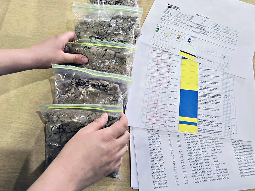
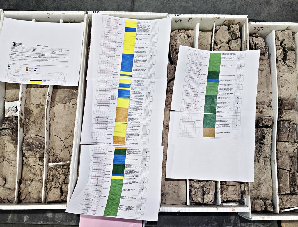
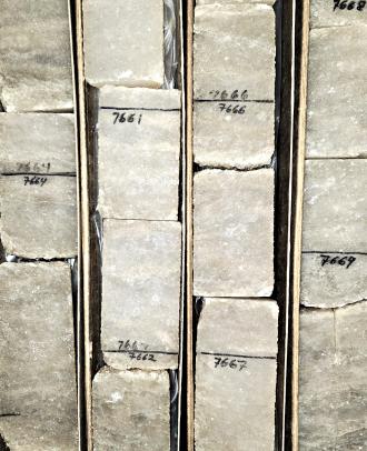
After five semi-truck loads of core arrived at MGRRE, Bill saw the magnitude of the collection. The cores came from 77 different wells. All 11,400 linear feet of 4-inch evaporite (salt and potash) cores remained sealed in plastic sleeves, keeping them intact since they were drilled in the 1980’s.
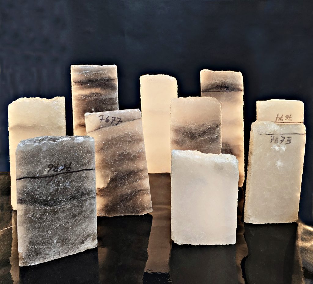
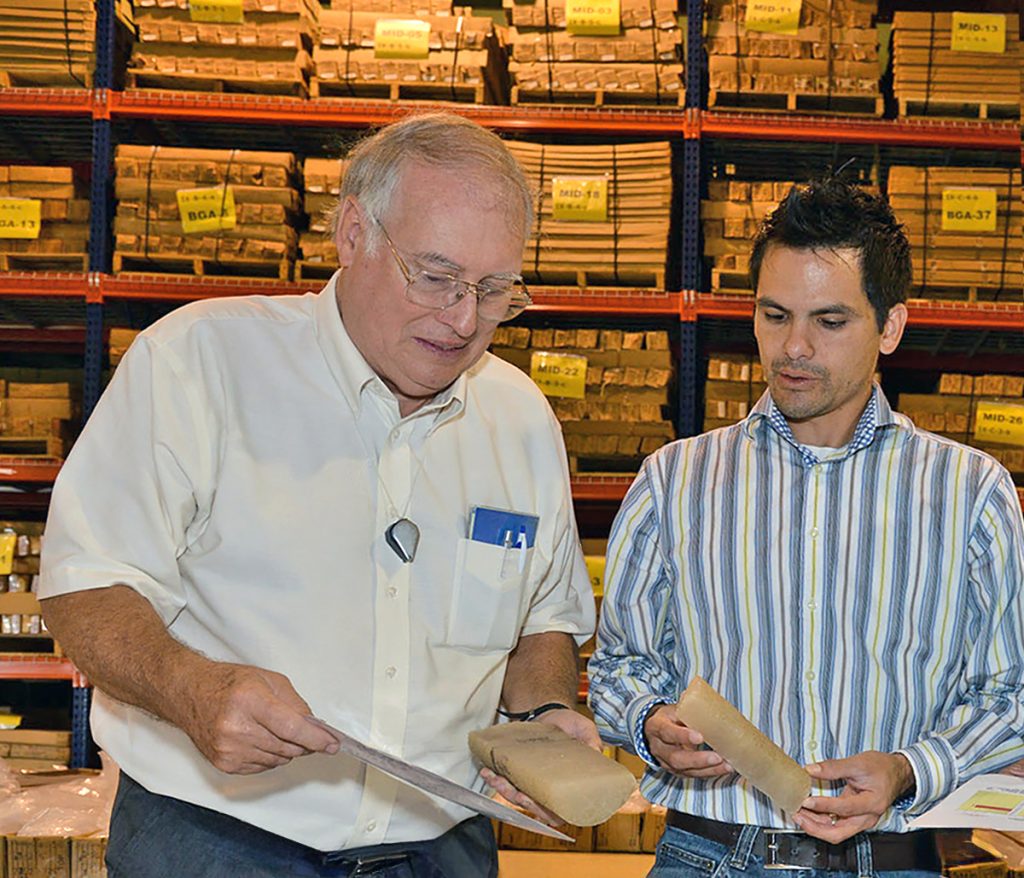
Bill and MGRRE’s staff inventoried the cores by depth and location and posted that inventory to their public website, thanks to funding from the U. S. Geological Survey’s National Geological and Geophysical Data Preservation (NGGDPP). Shortly after that, Bill got another call—from Ted Pagano. Ted wanted to come and examine the cores. When he did, he and Bill could see that the light-colored cores had very few impurities, unlike other potash samples that either of them had ever known about before.
Bill took samples from the cores and sent them to the Saskatchewan Research Council for analysis. Those analyses showed, for the first time, that the grade of this potash deposit is one of the highest in the world.
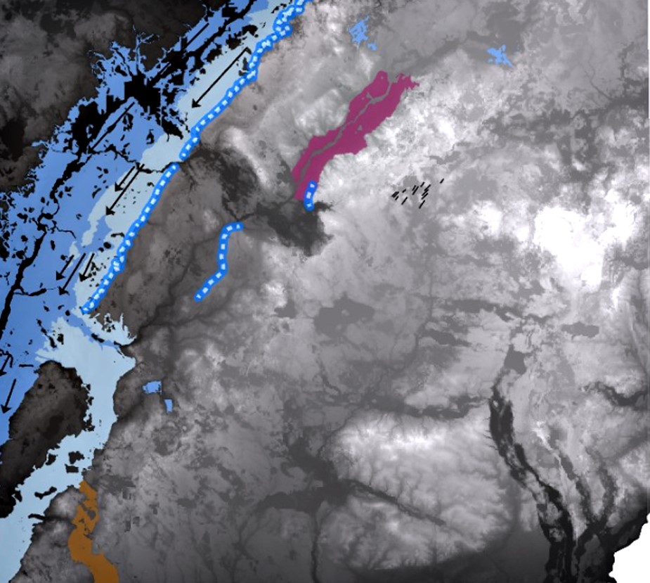
In the following years, Ted commenced to lease prospective areas. Bill and the MGRRE staff added potash research to their priority research projects and secured data from several sources, including geophysical logs. The data showed that the potash deposit extended into 17 counties in north-central Michigan. Based on the known thickness of potash intervals and grade values shown from core analyses, he estimated that large-commercial production might be possible in 9 of those counties, representing 2.9 million acres—a much larger area than anyone had initially imagined.
The potash story represents just one of the discoveries made possible by our dedicated geologists and staff who preserve and research Michigan’s geological samples. That’s been our mission since Bill Harrison founded MGRRE in 1982. That mission continues now that MGRRE is part of the MGS, transferred to Western Michigan University (WMU) by legislation in 2011.
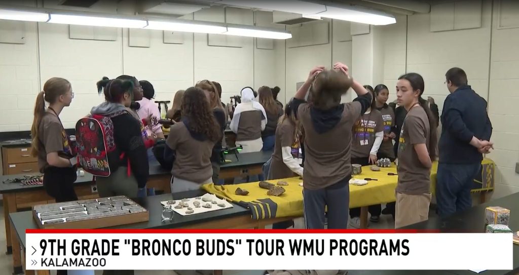
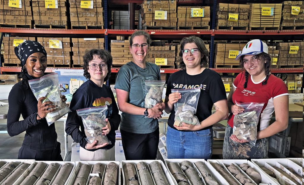
Today, through State funding, the MGS/MGRRE preserves more than 600,000 linear feet of geological cores, along with thousands of other types of samples and well records. Those samples and records are essential to training the next generation of geoscientists and to research leading to a better understanding of Michigan’s geological history and resources.
Christopher Helman’s story was published in the June/July issue of Forbes at How An Unassuming Geologist Cracked The Global Fertilizer Cartel and is illustrated by photos taken at the repository.