Why Public Leaders Use Michigan Geological Survey Data
Public decisions about land use, infrastructure, water, energy, and environmental protection depend on what lies beneath the surface. When subsurface conditions are poorly understood, projects face delays, cost overruns, and unexpected risks. The Michigan Geological Survey provides trusted, unbiased geologic science that public administrators can rely on to make informed, defensible decisions — before problems arise.
Reduce Project Risk
Identify geological constraints early to avoid costly surprises during construction or redevelopment.
Protect Drinking Water
Understand groundwater systems, recharge areas, and contamination pathways.
Support Smarter Land-Use Planning
Inform zoning, siting, and growth decisions with subsurface data.
Strengthen Permitting & Review
Use science-based information that stands up to public and legal scrutiny.
Save Time and Taxpayer Dollars
Leverage existing data instead of duplicating studies or reacting after problems
occur.
Plan for Long-Term Resilience
Support decisions related to flooding, erosion, energy development, and climate impacts.
Decision-Support Products Across Michigan
Geologic Maps
Accessible maps that show surface and subsurface conditions relevant to planning, infrastructure, and environmental protection.
3D Subsurface Models
Visual models that help non-specialists understand what lies underground — supporting better communication and decision-making.
Digital Tools and Data
Online tools and datasets designed for planners, engineers, regulators, and policy staff — not just geologists.
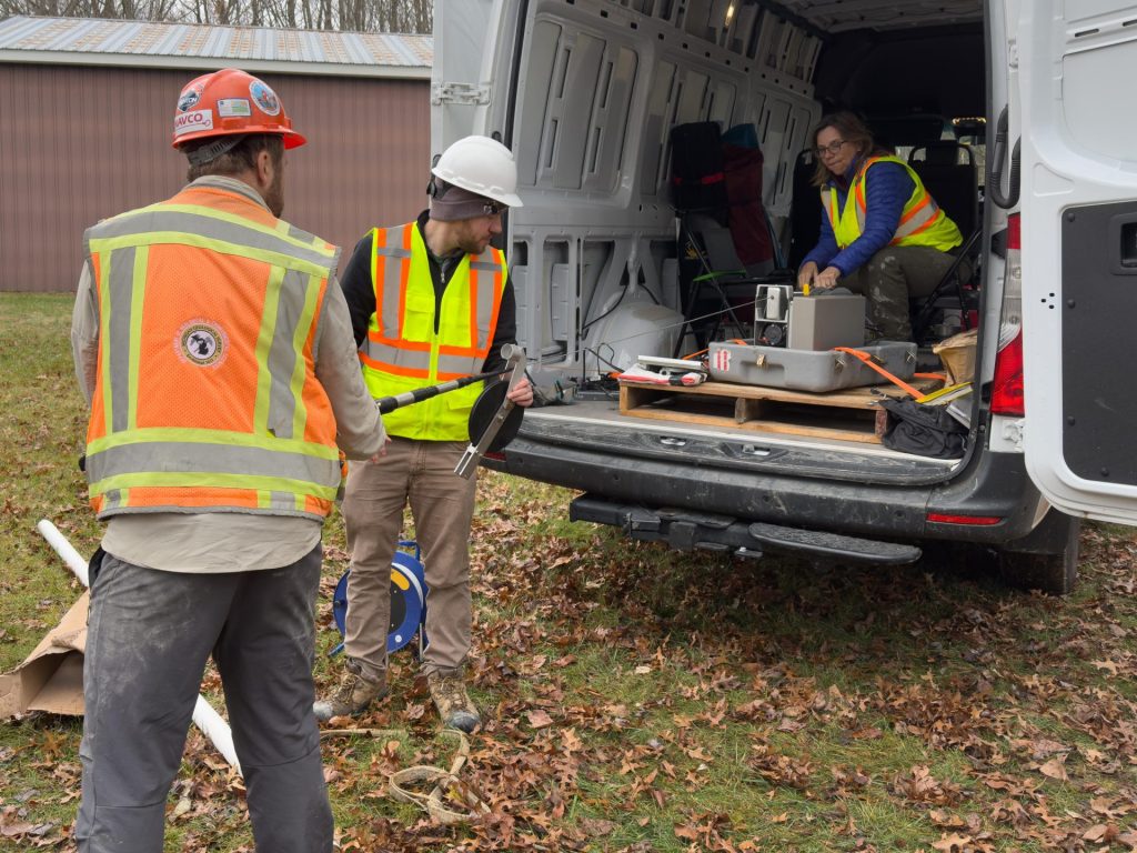
From Field Data to Public Decisions
Michigan Geological Survey science begins with field observations, analysis, and data stewardship — and ends with products that inform real-world decisions. Our role is to ensure public leaders have access to reliable, unbiased geologic information when and where it’s needed.
Land-use planning
Infrastructure and transportation
Water-resource protection
Environmental review
Energy and resource development
Used by Public Agencies Across Michigan
Michigan Geological Survey products support state agencies, counties, municipalities, regional planning organizations, and tribal governments across Michigan.