Skip to content
WMU and MGS logos side by side
  • Home
  • About
    • Projects
    • Meet the Team
    • Public Administrators
    • History
    • Employment Opportunities
  • Maps & Publications
    • STATEMAP Mapping Status
    • GIS Map and Data Hub
    • Other Resources
    • Historic Documents
  • MGRRE
    • Facility Resources and Fees
    • Geological Data
    • NGGDPP
  • Education & Outreach
    • CoreKids
    • Community and State Outreach
    • Career Awareness
MGS Shop
MGS Shop
MGS Shop
MGS Shop
WMU and MGS logos side by side
Programs and
Resources
Menu
  • Home
  • About
    • Projects
    • Meet the Team
    • Public Administrators
    • History
    • Employment Opportunities
  • Maps & Publications
    • STATEMAP Mapping Status
    • GIS Map and Data Hub
    • Other Resources
    • Historic Documents
  • MGRRE
    • Facility Resources and Fees
    • Geological Data
    • NGGDPP
  • Education & Outreach
    • CoreKids
    • Community and State Outreach
    • Career Awareness

Other Karst Resources

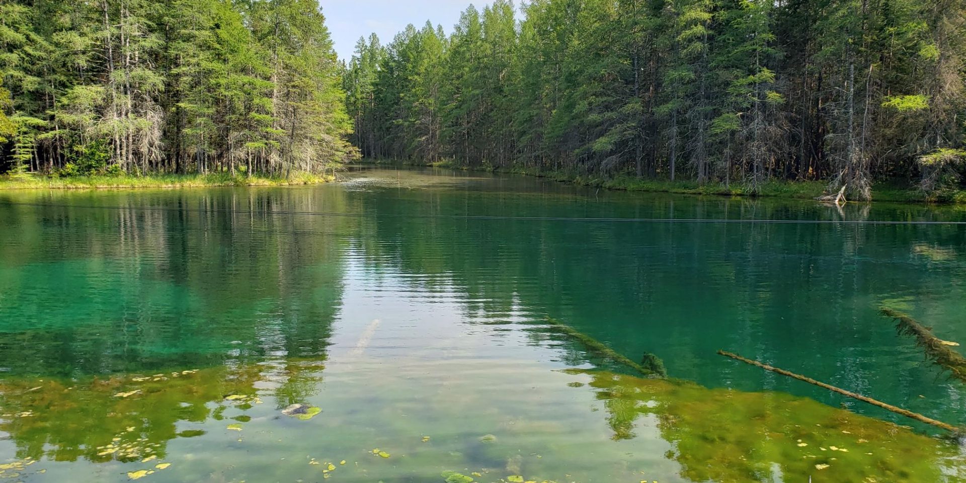
A body of water with trees in the background.
Lake Kitch-iti-kipi formed in a sinkhole (Photo Credit: Tom Valachovics).
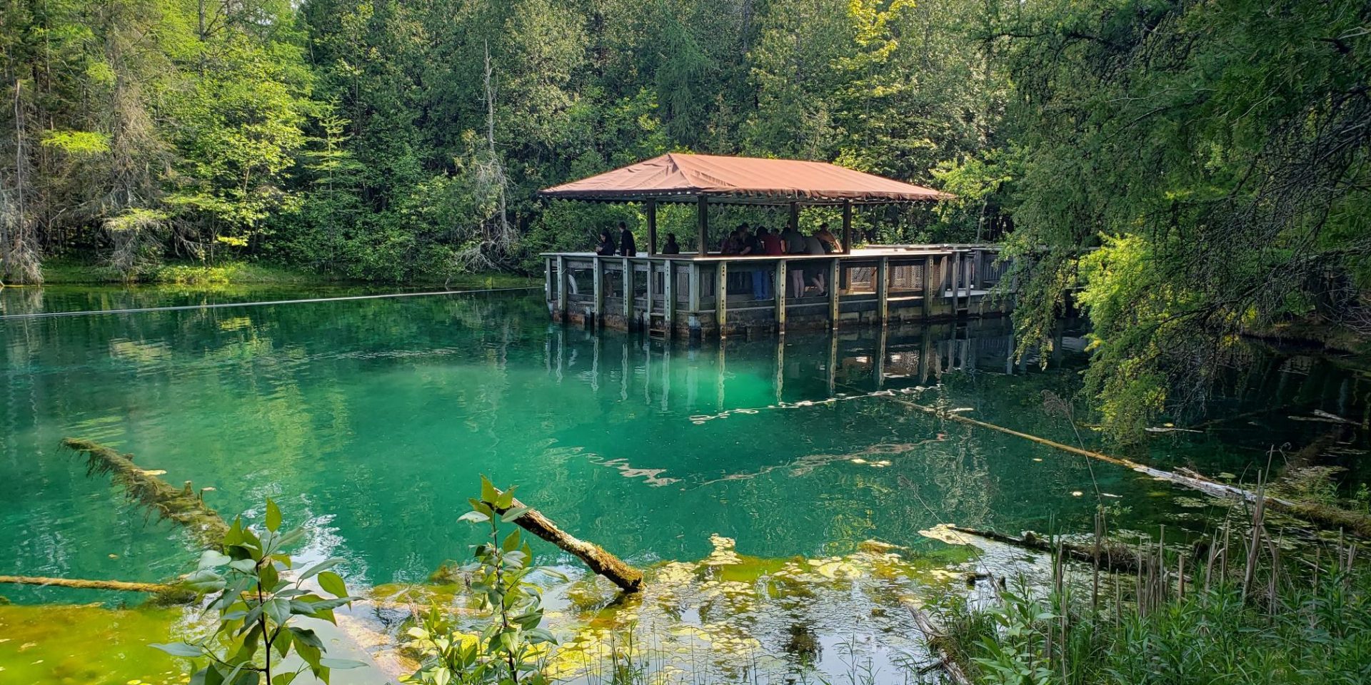
A body of water with a sheltered dock and trees in the background.
Lake Kitch-iti-kipi formed in a sinkhole (Photo Credit: Tom Valachovics).
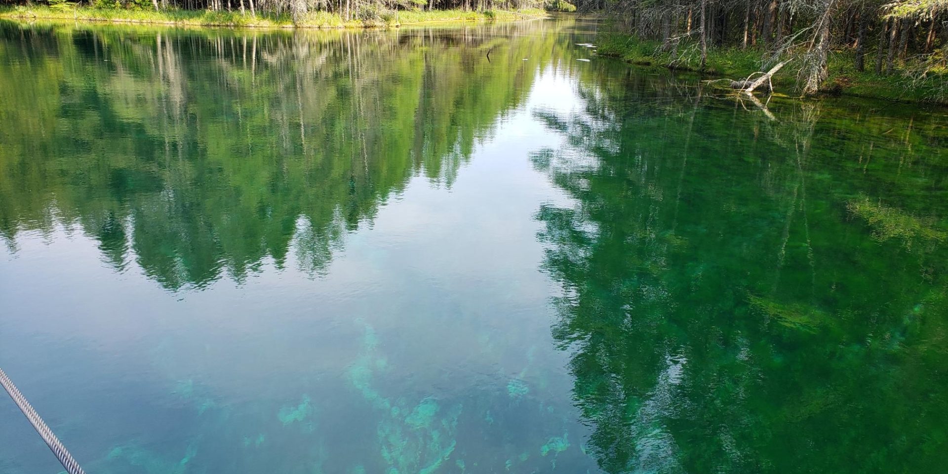
A body of water with trees in the background.
Lake Kitch-iti-kipi formed in a sinkhole (Photo Credit: Tom Valachovics).
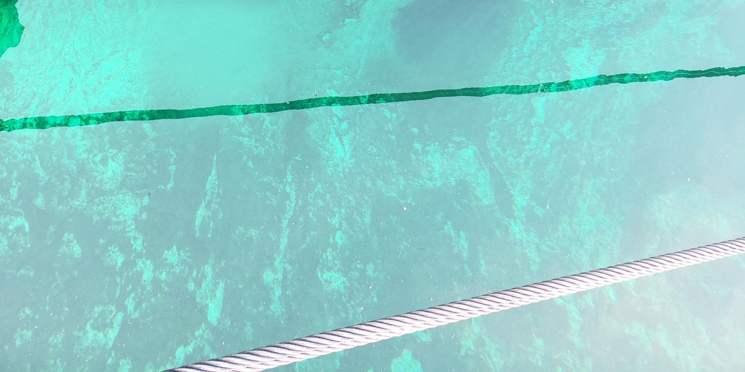
Shallow blue-green water with a steel cable hovering above the surface.
Lake Kitch-iti-kipi formed in a sinkhole (Photo Credit: Tom Valachovics).

Karst/Sinkhole Resources Provided by Others:

United States Geological Survey

Karst Waters Institute

National Park Services

American Cave Conservation Association

The Michigan Karst Conservancy

National Speleological Society

National Geographic

Michigan State University

More Information

Sinkholes Home
Sinkhole FAQ
Other Karst Resources
Contact
Information

geos-mgsmaps@wmich.edu

(269) 387-8633
Popular Topics
Menu
  • News
  • Newsletter
  • Michigan Geology
  • Interactive Maps
  • GIS Map Datasets
  • Earth MRI
  • Sinkholes
  • Coastal Erosion
The official logo of the Michigan Geological Survey, established in 1837.

Michigan Geological Survey

5272 W Michigan Ave.

Kalamazoo, MI 49006

(269) 387-8633

geos-mgsmaps@wmich.edu

Privacy Policy

Accessibility Statement

Stay caught up on the latest updates and insights by reading the MGS Core Quarterly Newsletter.

MGS Newsletter Signup Form